Sydney Former Darlinghurst Police Station survey
Services
Contact point

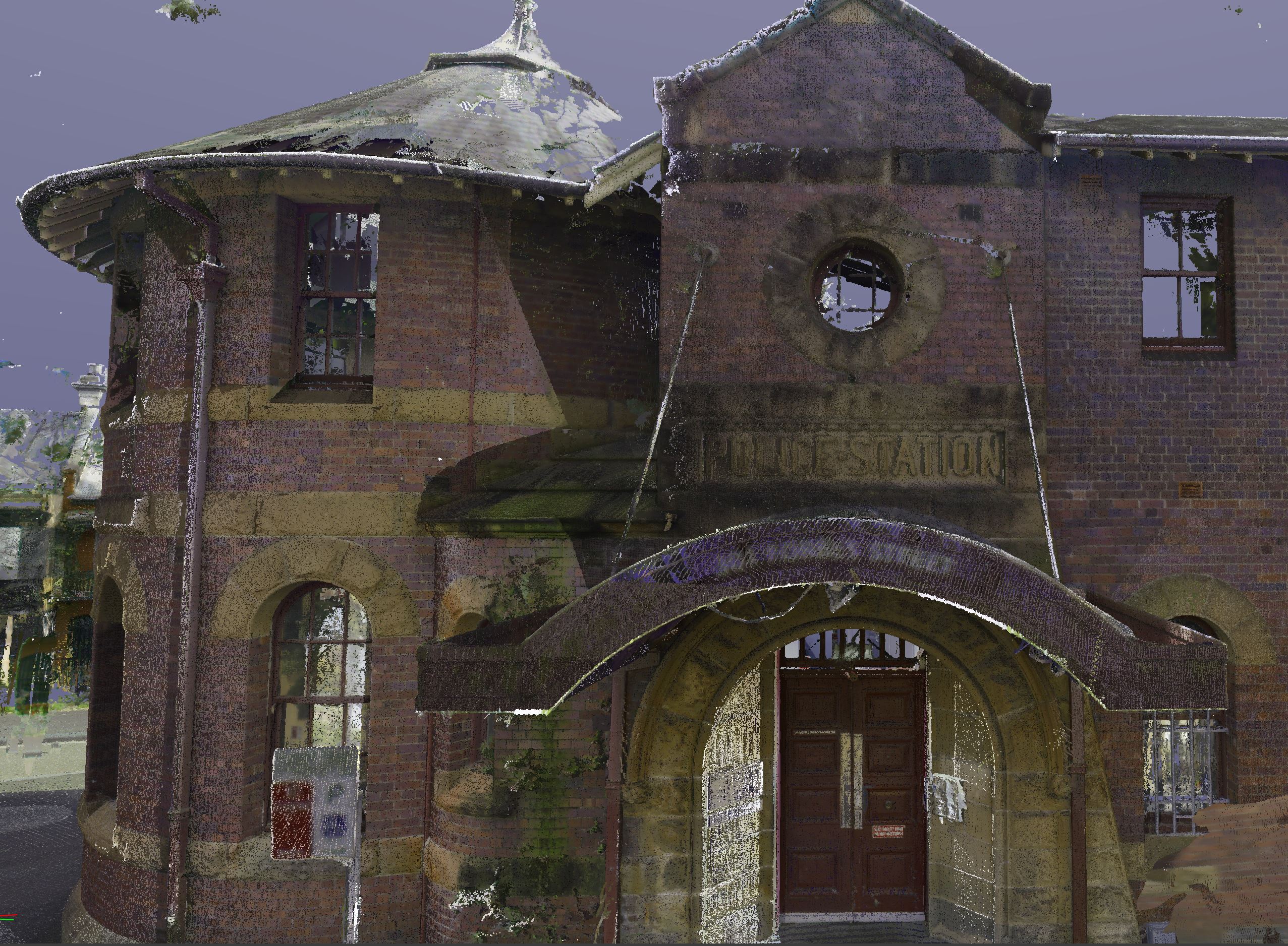
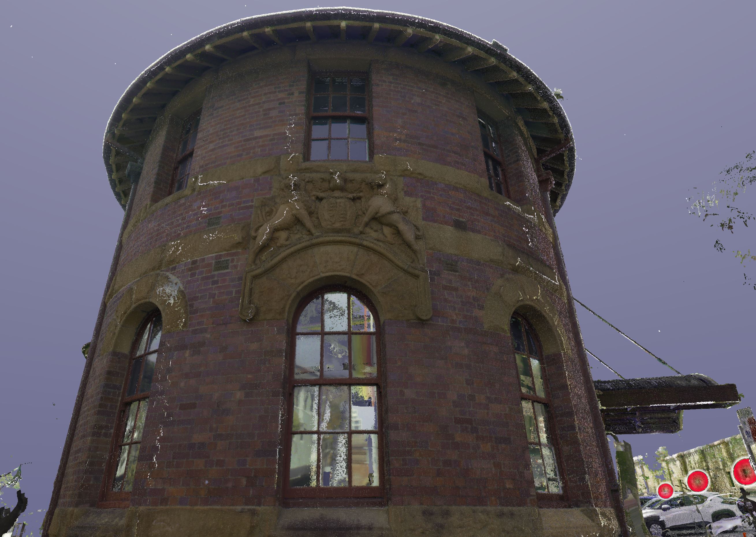
NSW Public Works undertook a 3D laser scan survey of the former Darlinghurst Police Station, supporting the design process for its future restoration and conversion into a museum.
Overview
NSW Public Works Survey Team (NSWPW) played a pivotal role in facilitating Create NSW's planning approval application for the QTopia Museum within the historic Darlinghurst Police Station on Forbes Street.
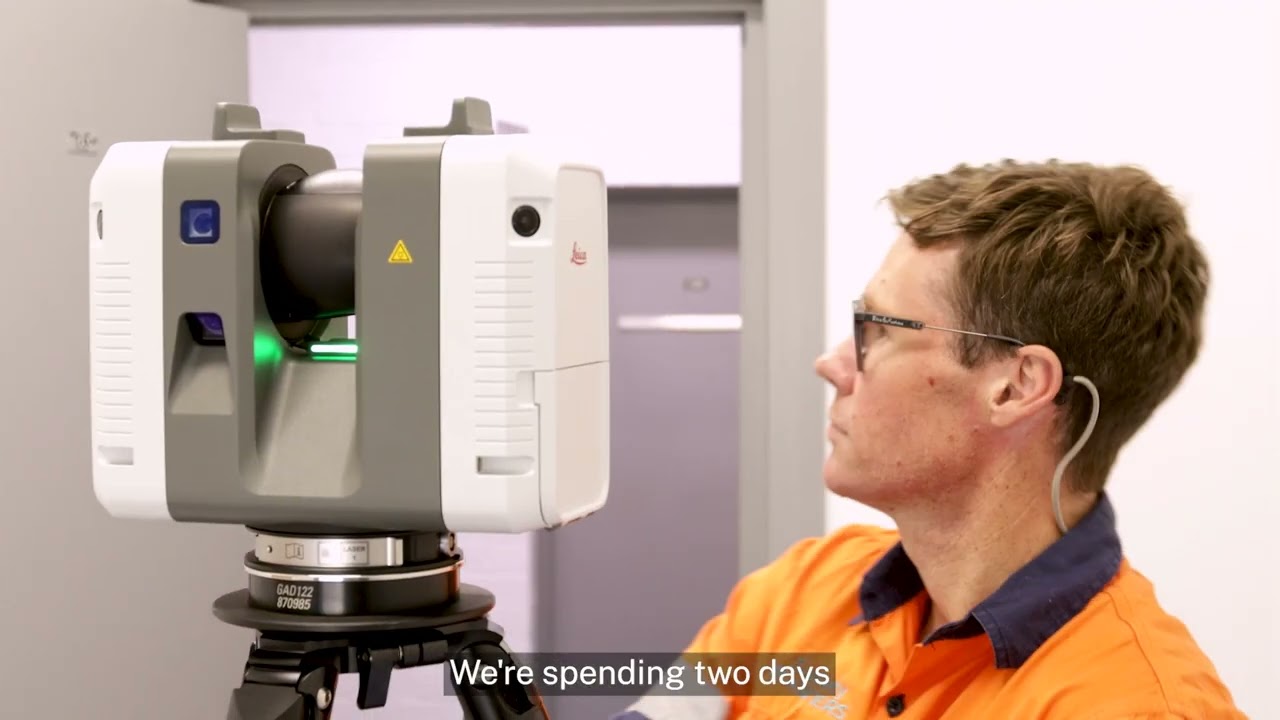
This project entailed a comprehensive 3D spatial data capture, both externally and internally, leveraging state-of-the-art Terrestrial 3D Laser Scanning (TLS) technology.
Key project details:
External survey: TLS technology was employed to capture a wide range of external features, including pavement, curbs, loading docks, walks, landscaping, irrigation, site drainage, exterior lighting, walls, fencing/railings, signage, and exterior amenities. Additionally, vital data such as power pole locations, sill and head heights for openings, gutter and roof heights of neighbouring buildings (including those visible from the private car park and courtyard spaces), and windows of neighbouring buildings on Forbes Street were captured.
Internal survey: TLS facilitated precise measurements of internal ceiling heights, detailed examinations of the entry atrium, staircases, and internal floor heights, ensuring a comprehensive understanding of the site's internal structure.
Benefits of Using TLS Technology:
- Precision and Accuracy: TLS ensured exceptional precision and accuracy in capturing spatial data, essential for sound design decisions.
- Efficiency: The technology expedited data capture, meeting project timelines efficiently.
- Comprehensive Data: TLS provided a wealth of data, including intricate details, supporting informed design choices.
- Enhanced Visualization: 3D point cloud data offered immersive visualisation for effective stakeholder communication.
- Minimal Disruption: TLS minimised on-site disruption, crucial for working in historically significant or sensitive locations.
Deliverables
NSWPW delivered a comprehensive suite of outputs to Create NSW, including:
- Survey Report: A detailed report on how the survey was performed.
- Topographic Survey Plan: An intricate plan illustrating external areas and captured features.
- 3D RGB Colourised Point Cloud Data: Vivid 3D spatial data in LAS and RCP formats, offering visually rich representations.
- 3D Leica Truview: A user-friendly desktop-compatible 3D visualization tool for convenient data viewing.
This highlights NSWPW expertise in using Terrestrial 3D Laser Scanning technology to deliver precise and comprehensive spatial data, supporting the successful planning approval application for the QTopia Museum's redevelopment within the Darlinghurst Police Station.