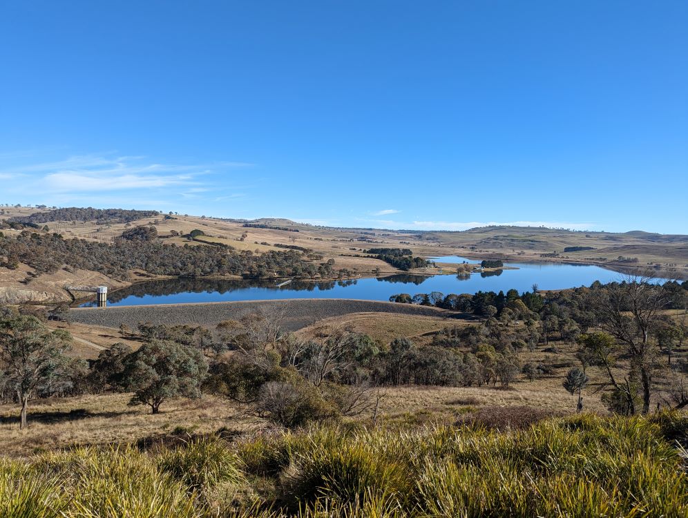
Dam monitoring and 3D survey data capture
Contact point

The NSW Public Works (NSWPW) Survey and Spatial team has a distinguished history in surveying for the construction and monitoring of essential water infrastructure. This legacy is being enhanced as we embrace cutting-edge survey technologies accessible to contemporary surveyors.
We offer specialised surveying services to regional councils and water asset owners throughout the state.
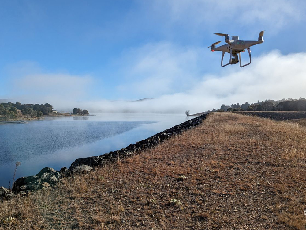
Our expertise spans from traditional precise differential levelling to utilising lidar technology via drones, offering a broad spectrum of survey solutions for various projects.
Our services include:
- precise monitoring of dam movements, both horizontally and vertically, and
- 3D data capture for projects like dam wall raising, retrofitting, rehabilitation, and remediation.
Precision dam monitoring
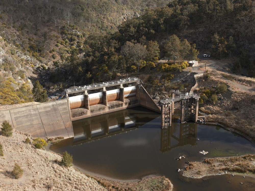
NSWPW are specialists in the precise monitoring of both concrete and earthen wall dams. Currently entrusted with precision 3D monitoring survey services for 18 dams and reservoirs throughout NSW, our team showcases expertise and dedication in this critical field.
We have recently played a pivotal role in assisting 3 regional councils by designing and implementing precision survey monitoring infrastructure for dams. These dams were either previously unmonitored or inadequately surveyed. Furthermore, we have developed monitoring infrastructure designs for an additional five dams in the last 3 years, spanning a diverse geographic area.
To support these precision monitoring tasks, we are equipped with state-of-the-art precision instrumentation and advanced data reduction techniques, and qualified and experienced in these specialised activities.
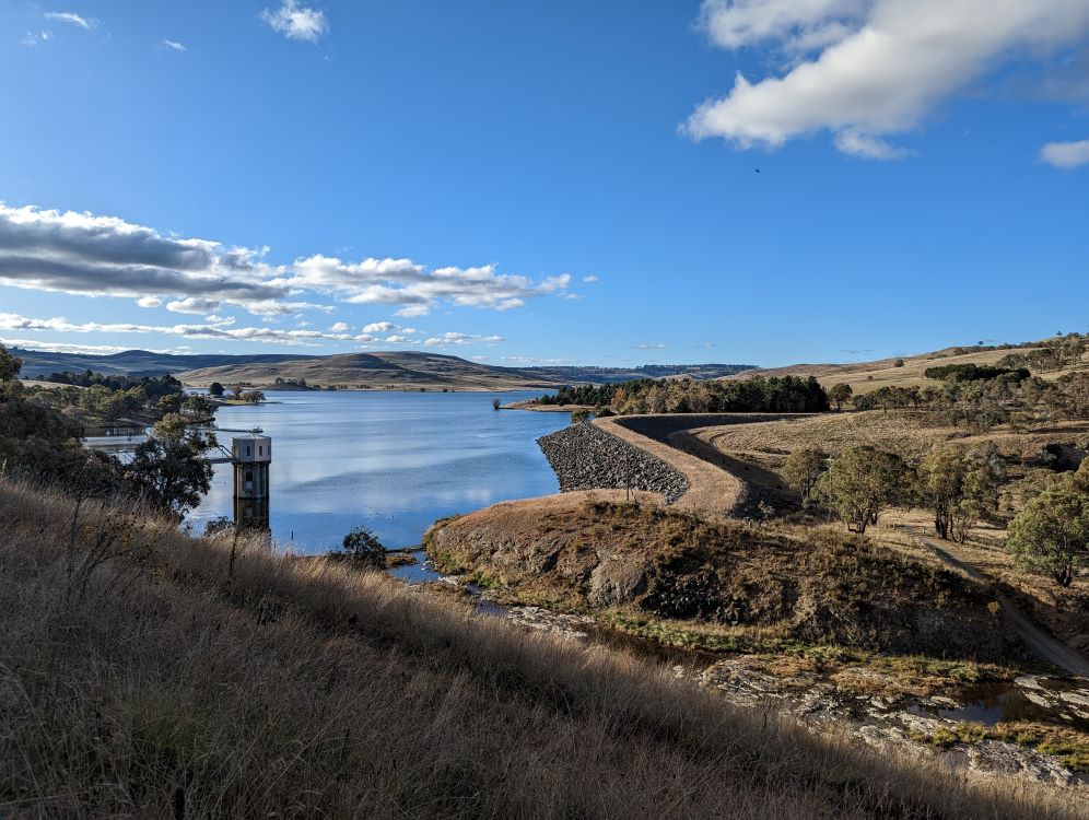
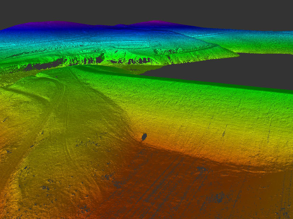
Dam 3D data capture surveys
NSWPW excel in capturing topographic and engineering survey data essential for various dam projects, including wall raisings, retrofitting, rehabilitation, and remediation.
We adeptly combine 3D datasets from various sources and techniques, such as conventional ground surveys, bathymetric surveys, terrestrial laser scanning, drone imagery, and drone lidar. Our expertise in these areas was demonstrated in our provision of 3D survey datasets for 5 dams.
The data supplied is then utilised by expert dam engineers at both NSWPW and the client for several critical purposes, such as:
- volumetric analysis,
- designing dam wall modifications, and
- review of structure and dam safety.
Survey capabilities and technologies
NSWPW offer surveying services utilising the following technologies, techniques, and capabilities that we believe are of considerable value to the inspection, assessment and monitoring of existing dams.
- Dam monitoring and 3D survey data capture
- RTK GNSS
- Total station data capture
- Drone based data capture
- Static GNSS
- Differential levelling
- Terrestrial laser scanning
- Hydrographic investigations
Our approach
At NSWPW, our expert capability is achieved by the combination of technology, techniques, and skilled personnel.To ensure the optimal approach for each project, we invest time in thoroughly understanding our client’s specific requirements. This process involves developing a clear project scope by identifying the capabilities that will provide the required datasets. With this clarity, we formulate a comprehensive project proposal, enabling clients to engage with confidence, knowing they will receive tailored solutions as outlined in our proposal.
NSWPW’s expertise in error propagation and a methodical approach to applying emerging technology, grounded in solid survey principles, ensures that clients’ accuracy requirements are met while delivering fit-for-purpose products. Our diverse range of capabilities allows for the customisation of field deployment with an optimal mix of these capabilities. Strong quality assurance and a deep understanding of error propagation enable us to accurately convey the data’s precision collected using different methods.
Find out more
Download the Dam Monitoring and 3D Survey Data Capture capability booklet to learn more.