Surveying and spatial information
Contact point

NSW Public Works provides a comprehensive range of surveying, property and spatial information products and services tailored to NSW government asset and infrastructure projects. Our professional team includes Survey Project Managers, Registered Surveyors, Technical Surveyors and CAD Project Officers.
Our service offering of cadastral surveying, titling solutions, land and easement acquisitions, and topographic and engineering surveying, is supplemented with specialist expertise in precision monitoring surveying, asset data capture, terrestrial laser scanning, bathymetric riverbed surveys, and control surveys utilising high-end total station and GNSS solutions. Services include:
- Utility service & property investigations
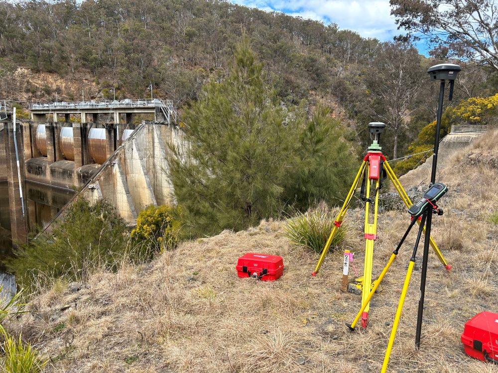
- Control surveys & least squares data analysis
- Topographic & mapping surveys
- Engineering & infrastructure surveys
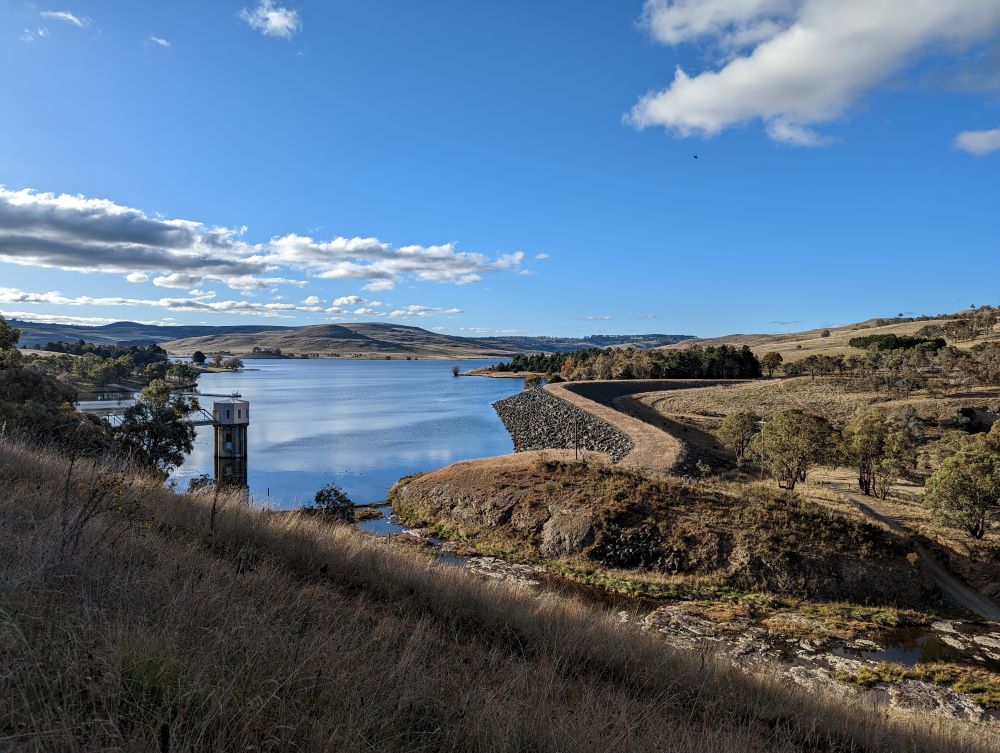
- Precision surveys & dam monitoring
- Laser scanning
- Bathymetric & hydrographic surveys
- Subdivisions, Strata & Stratum
- Consultant engagement